Rollins Pass
Historic Gravel Route outside Boulder
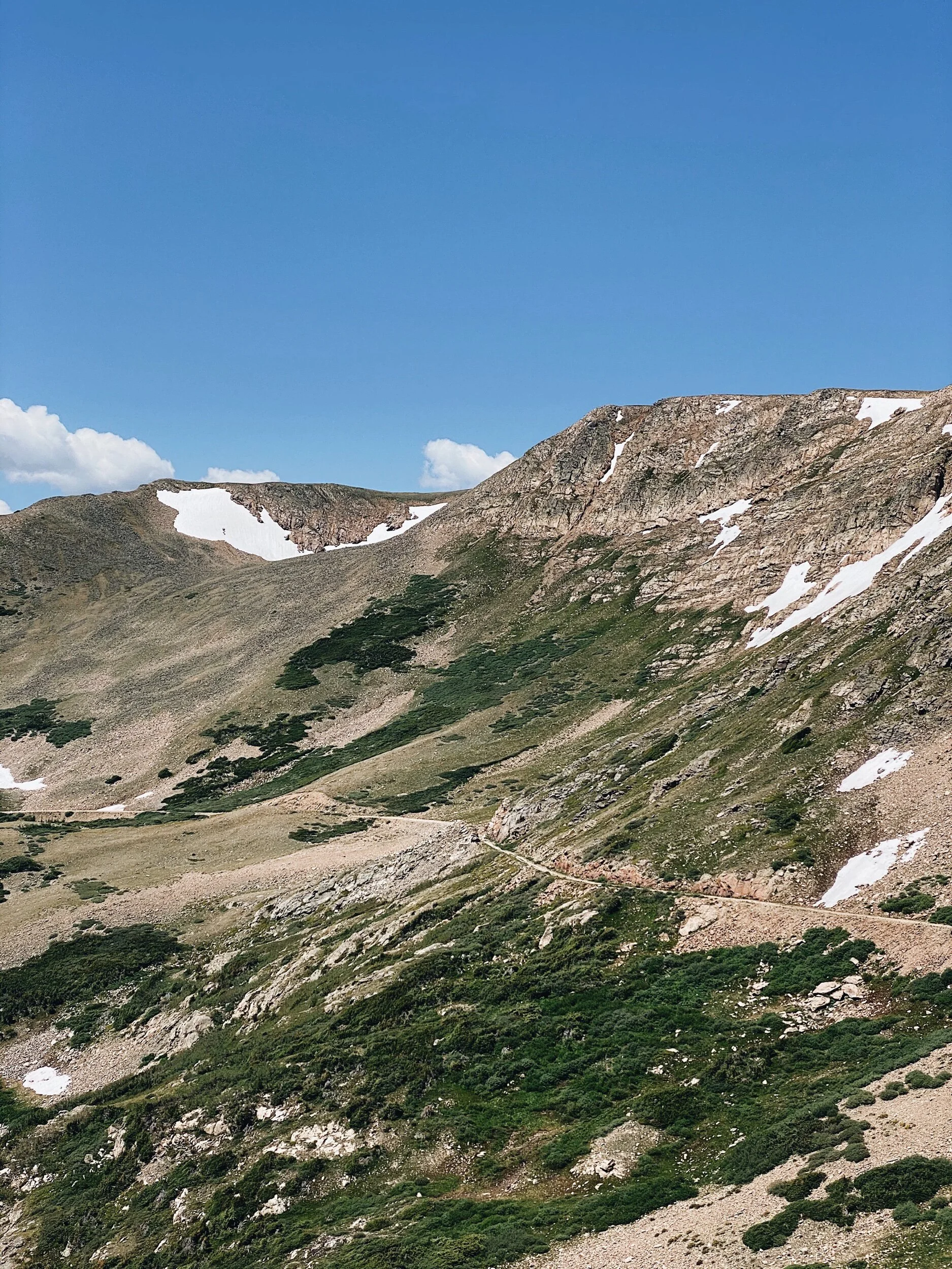
Rollins Pass can be a real doozy for drop bar bikes. This doesn’t mean it can’t, or shouldn’t, be ridden. In fact, it’s still pretty damn popular. It even has its own bike race. But the ride’s popularity and relative short length can downplay THE demands for a dependable repair kit and early morning start. The road is shit. Though it moves at a gentle grade, the sharp embedded rock and endless mud holes are jarring on the body and can destroy a tire at high speed. The climb to the top is slow going, and you will find no reprieve on the turbulent descent either. Because of the high altitude and proximity to the Continental Divide, inhospitable weather can move in fast, leaving you with little coverage if you are above the trees. Hence, the need for a repair kit and foul weather gear- friends won’t want to risk destroying their cars coming to get you, and it's a long walk back to the start.
So why would anyone want to ride a gravel bike up this pass? Rollins Pass provides one of the closest, high altitude gravel rides near denver and boulder. From the 11,676 ft. high point on the crest of the front range, views of the Indian Peaks and James Peak wilderness areas are humbling in their vastness. The route is also rich with HISTORIC artifacts. Some are obvious, such as Needle’s Eye Tunnel and the Twin Trestles. Others predate these by thousands of years, and without careful attention sink back into the landscape as if like camouflage.
Our route starts from the town of Rollinsville, about an hour west of Denver. For the first six miles you get flat, gravel road following South Boulder creek into the James Peak wilderness area. Less than a mile from the Moffat Tunnel’s east portal, Rollins takes a sharp right and begins its bumpy ascent. The first leg of your climb is standard Colorado fare- conifer trees and granite walls are abundant. Eventually, you will hit Yankee Doodle lake and upon reaching treeline, the scenery gets turned up a couple of notches.
When you reach Needle’s Eye tunnel follow the steep hiking trail to bypass the off limits area. This will allow you access to the other side. Hike your bike over. As you summit, take some time to marvel at the ancient hunting blinds at the top. Ute and Arapaho tribes used the pass to drive game for millennia. Today, Rollins Pass is still an active archaeological site and considered endangered (don’t touch, be respectful). After hiking to the other side of the tunnel stick to the right-side trail, and you will reach the Twin Trestles. Continue forth (over the tracks) and you will arrive at the Continental Divide.
Again, this ride is remote and can be somewhat dangerous. Tons of people do it though. You just need to be smart and have a solid plan.


